Naming our Roads and Gates (Memo U2223-0077)
19 Apr 2023 | Office of the President
Memo # U2223-0077
19 April 2023
MEMO TO:
The University Community
RE:
Naming our Roads and Gates
We would like to inform the community of the new names for various roads and gates in our Loyola Heights campus, some of which have been in use for many years without the benefit of being formally named. We hope that naming these roads and gates can help to improve wayfinding on campus for all members of our community, including visitors to our various offices and facilities. These new names are consistent with naming conventions that have been in place since 1992. Please anticipate the installation of the appropriate signage in the coming weeks.
Gates
- Gate 3.1 – This is a newly constructed entrance gate for vehicles coming from the north (i.e. from the U.P. Town Center).
- Gate 3.2 – This is a newly constructed exit gate for southbound vehicles (i.e. going towards Aurora Blvd).
- Gate 4 – This is the pedestrian gate between Ateneo and Miriam College (formerly known as the Friendship Gate).
- Gate 5 – This is the entrance and exit gate to and from Mangyan Road, La Vista Village (formerly known as the Cupertino Gate).
- Gate 6 – This is the pedestrian gate near the Loyola House of Studies, leading to De la Costa Housing (formerly known as Hagdan Gate).
Roads
- West Diversion Road – This is the road that runs parallel to Katipunan Avenue, between Gates 2 and 3, along the Ateneo’s perimeter fence. This road has two branches:
- Inner West Diversion Road – Leading from Gate 2 and connecting to University Road for vehicles heading inbound into the campus.
- Outer West Diversion Road – Leading from Gate 2 towards Gates 2.5 and 2.9, for vehicles exiting the campus.
- Northwest Diversion Road – This is the road that starts from Fr Arrupe Loop at the back of the Northwest Car Park, and leads to Gates 3.2 and 3.5, for vehicles exiting the campus.
- Fr Masterson Drive Extension – This is the newly constructed portion of Fr Masterson Drive, extending from the Junior High School to the new Senior High School Formation and Leadership Center.
- High School Loop – This is the road that loops around the Junior High School and the Senior High School complexes, going around the HS football field and Moro Lorenzo Sports Complex until it joins Fr. Masterson Drive. Much of this road used to be known as the High School Perimeter Loop.
- Grade School Loop – This is the road which loops around the Blue Eagle Gym, beginning and ending at Fr. Masterson Drive.
- Wellness Drive – This is the road leading from Seminary Drive to the Jesuit Health and Wellness Center.
- Dormitory Drive – This is the extension of University Road leading into the University Residence Halls complex, beginning at the intersection of University Road and Fr. Masterson Drive.
- Loyola Drive – This is the road at the back of the Science Education Complex (SEC), leading from Masterson Drive and connecting to the Inner West Diversion Road. (Currently referred to as JSEC road.)
For greater clarity, we attach an updated campus map that reflects the names of all our gates and roads, both old and new.
Please be guided accordingly.
Thank you.
(Sgd) Roberto C Yap SJ
President
Recent News
You may also like these articles

[Hot Off the Press] Arkipelago
New book from the Ateneo Press Arkipelago provides a fascinating and fantastical twist on Philippine politics and history Our country is an archipelago of stories
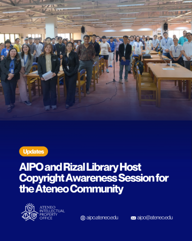
Protecting Creativity: AIPO and Rizal Library Host Copyright Awareness Session for the Ateneo Community
On March 18, 2026, the Ateneo Intellectual Property Office (AIPO), in collaboration with the Rizal Library, successfully conducted a Copyright Awareness Session held on the
Holy Week 2026 Holidays (Memo # UHR2526-038)
Memo # UHR2526-038 31 March 2026 TO: All Employees FROM: [Sgd] Maria Victoria T Cortez, PhD Vice President for University Human Resources SUBJECT: Holy Week
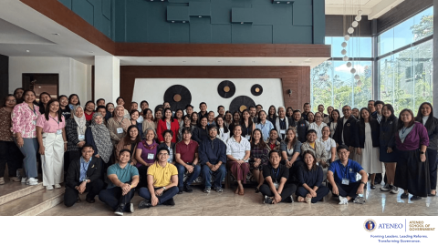
ASOG’s Tobacco Control initiatives spotlighted in DOH National Technical Working Group for Tobacco Prevention and Control
On March 10 to 12, 2026, the Ateneo School of Government (ASOG), through its research and public policy unit, the Ateneo Policy Center, participated in
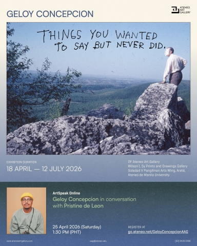
Things You Wanted to Say But Never Did: Geloy Concepcion’s six-year project makes Its exhibition debut at the Ateneo Art Gallery
Geloy Concepcion’s Things You Wanted To Say But Never Did comes to the Ateneo Art Gallery this 18 April 2026. After receiving almost 300,000 messages

[Hot Off the Press] Love If I'm Pretty
New YA Release from the Ateneo Press Love If I’m Pretty tackles the nuances of growing up through complex characters and straightforward prose What do